 panda
Early maps
Featured — award winners and classics first, when available. Use “Show different books” for a new selection.
🔄 Show different books
Mapping time

Willem Janszoon Blaeu, 1571-1638

Greek and Roman maps

Antique maps

Antique maps

Facsimile-atlas to the early history of cartography

Historical and geographical notes, 1453-1869

LA Cartographie De Madagascar

The continent of America

Silos and ensilage

Metasex, mirth & madness

M. Blundeuile his exercises, containing eight treatises

American historical prints: early views of American cities, etc. from the Phelps Stokes and other collections

To the ends of the Earth

Terra Incognita

Investing in maps
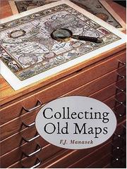
Collecting old maps

The counties of Britain

Mediæval geography

Early maps of South-East Asia

Narrative and critical history of America

The Cosmographiæ introductio of Martin Waldseemüller in facsimile

Mapmakers of the sixteenth century and their maps

Tudor geography, 1485-1583

Ships on maps
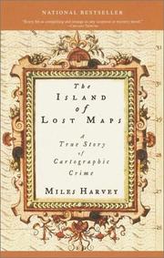
The island of lost maps
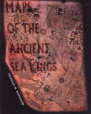
Maps of the ancient sea kings

Renaissance Ethnography and the Invention of the Human
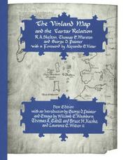
The Vinland map and the Tartar relation

The earliest printed maps, 1472-1500
Browse free books to read online
Book Explorer lets readers browse the free, readable part of the Open Library catalogue by familiar genres, or by the exact subject tags Open Library assigns each book. Every book has its own page with a reader where one is available, plus links to Open Library, your library, Libby and Amazon.
Fiction
- All Fiction
- Literary Fiction
- Children's Fiction
- Mystery & Detective
- Romance
- Fantasy
- Thriller & Suspense
- Historical Fiction
- Science Fiction
- Graphic Novels & Comics
- Humor
- Short Stories
- Horror
- Young Adult Fiction
- Western
Non-fiction
- All Non-fiction
- History
- Biography & Memoir
- Religion & Spirituality
- Politics & Social Sciences
- Travel
- Philosophy
- Business & Economics
- Science
- Art & Photography
- Cooking
- Self-Help
- Music
- Health & Fitness
- Sports & Recreation
- Humor
- True Crime